
Compare
Pick the tool that matches the bid.
Geolytes starts from an address, not a plan set. Here is how it differs from the takeoff tools you may already be evaluating.
How Geolytes compares
Attentive.ai
AI takeoffs from PDFs and BIM for construction teams.
SiteRecon
Takeoffs inside a wider landscape operations platform.
Geolytes
Aerial takeoffs you can inspect, export, and price in your own quotes.
| What you need | Attentive.ai | SiteRecon | Geolytes |
|---|---|---|---|
| Primary starting point | PDF plans, specs, and construction docs | Address / property mapping for landscape work | Address → aerial property takeoff |
| Built around | Commercial construction & field services bidding | Landscape sales through ops and renewals | Landscaping, snow, paving, and portfolio bids |
| How you get quantities | Done-for-you AI takeoffs and DIY plan takeoffs | Takeoff tools inside a wider landscape platform | Self-serve aerial layers you can inspect and export |
| Try before you buy | Product demos and sales-led evaluation | Demos and sales-led evaluation | Ungated sample takeoff and CSV, no account required |
| Estimating | AI estimates aligned to construction workflows | Estimating and proposal tools in-platform | Local estimating preview with sample data; confirm availability |
| Beyond the takeoff | BIM management and precon services | Site audits, enhancements, crew & inspection tools | Focused path: measure → organize → export → quote |
Scroll sideways to compare all three →
Common question
Why not just use Google Maps?
Google Maps offers aerial views and basic measurement tools. Geolytes organizes areas, lengths, and counts into work-specific takeoff layers, with property projects, shared views, and exports for your estimating process.
Inspect the sample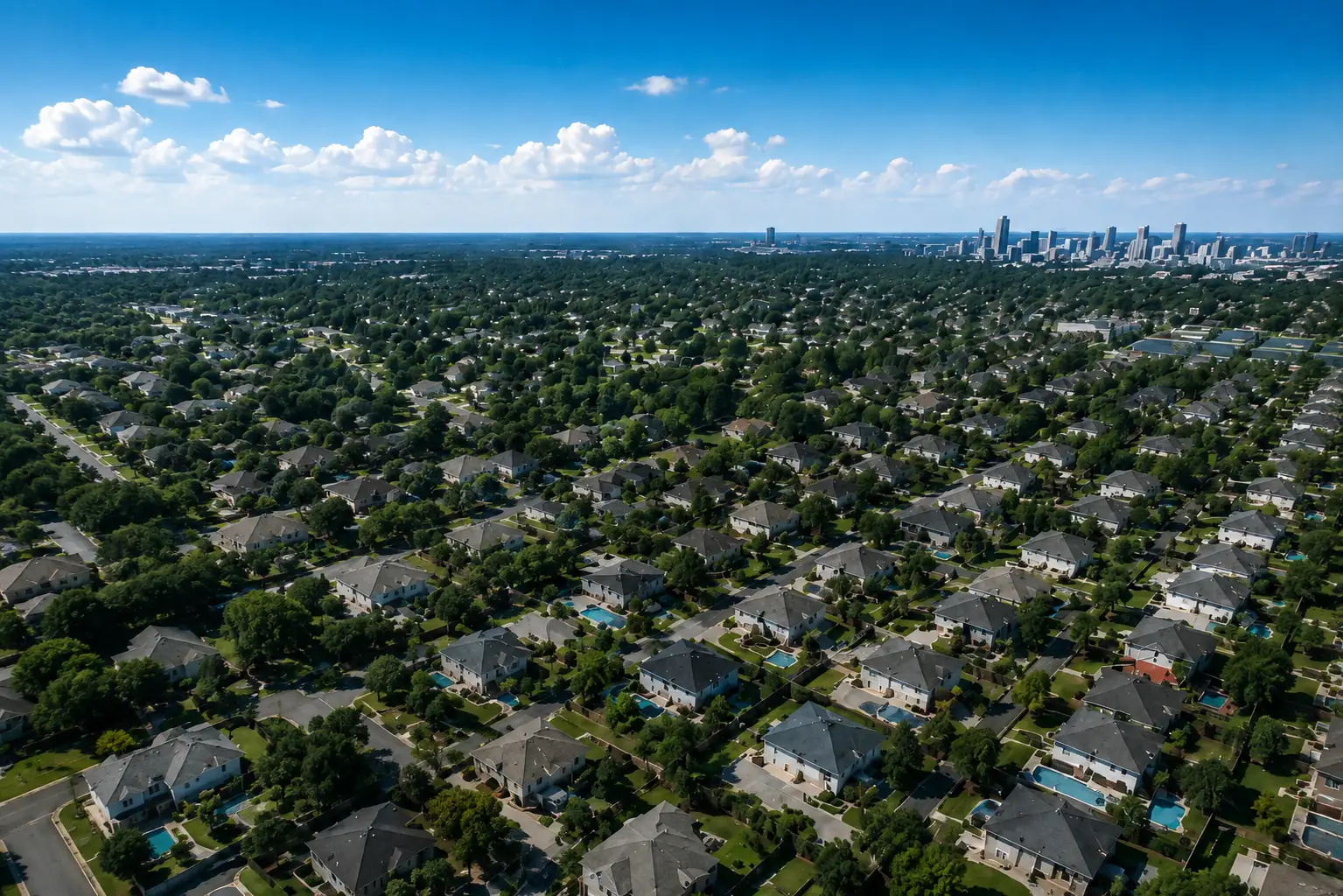
Get started
Bring a property you’re bidding.
Measure it in Geolytes, or walk through how the takeoff compares to the tools you already evaluate.